Biography
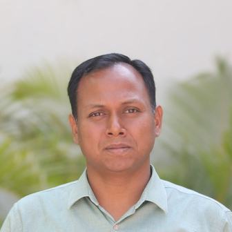
Dipak R. Samal is an Assistant Professor at the School of Public Policy and Governance, Tata Institute of Social Sciences, Hyderabad. He holds a Ph.D from the Centre of Studies in Resources Engineering (CSRE), Indian Institute of Technology Bombay. Before joining TISS, he was working as an Assistant Professor and program coordinator (M.Tech Geomatics) at the Centre of Environmental Planning and Technology (CEPT) University, Ahmedabad. As a post-doctoral fellow at Ashoka Trust for Research in Ecology and Environment (ATREE), he has worked on Upscaling Catchment Processes for Sustainable Water Management in Peninsular India (UPSCAPE) project which is one of the three projects in India initiated under the ambitious Newton-Bhabha Sustaining Water Resources Programme. He has also worked on a project “Adapting to Climate Change in Urbanizing Watersheds"(ACCUWa) project where the major goal was is to build an interdisciplinary approach toward understanding the interaction between the water resource system and the climate system in an urbanizing context, and to build the capacity of scholars, students, and civil society groups for conducting interdisciplinary actionable research. Dipak received MHRD fellowship for his doctoral studies at IIT Bombay where he investigated the influence of urbanization on water resources for the Upper Bhima basin, Maharashtra using geospatial modellng and analysis approach. During his doctoral studies, he was involved in several consultancy/research projects as a leading team member for precision mapping of city infrastructures (Water and Sewer), mapping and monitoring of pollutants in the Ulhas-Waldhuni river (NGT issue), land subsidence studies and creating a high-resolution topographic model for Mumbai city using advanced geospatial technology. He has also worked with National Environmental Engineering and Research Institute (CSIR-NEERI) where he was instrumental in developing a thematic database for environmental research. Dipak is passionate about application of geospatial technology for mapping, monitoring and modelling natural and urban processes.