Biography
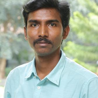
Dr. Ramesh Veerappan works as an Assistant Professor at the Centre for Geoinformatics, Jamsetji Tata School of Disaster Studies (JTSDS), Tata Institute of Social Sciences (TISS), Mumbai. He was awarded a Ph.D. in Geology from Periyar University, Salem, India, with research centred on landslide hazard zonation and slope stability analyses. He also holds an M.Tech. in Geological Remote Sensing and Geoinformatics from Bharathidasan University. He has done his master's research dissertation on "Landslide Hazard Zonation and Rainfall Threshold Modelling" at the Indian Institute of Remote Sensing (IIRS), ISRO, Dehradun. He has led significant research projects, funded by the Independent Research Fund Denmark and the U.S. Mission India Public Diplomacy Grant Program. He has supervised numerous master's and Ph.D. dissertations on disaster risk and Vulnerability. With over a decade of academic experience, his research interests are Quantitative Disaster Risk Assessment, Hazard and Vulnerability Mapping, Landslide and Slope Stability Assessment, Application of Geospatial Artificial Intelligence (GeoAI) for Disaster Mapping and Management and Geospatial Analytics in Social Science Research. His extensive publication record spans high-impact journals and authoritative book chapters on topics such as landslide susceptibility, flood hazard mapping, and environmental risk assessment. He also serves as a reviewer for many reputed journals in environmental science, geomatics, and disaster studies. He is a life member of the Indian Society of Geomatics.